| | | | Week of November 6th, 2017 |
Each Wednesday, Geography & GIS will distribute this e-newsletter to our faculty, students, postdocs/visiting scholars, and staff. Please send any news, announcements, and citations to mcohn@illinois.edu by noon on Monday for publication in the same week’s newsletter. |
|
Afterlives of Disinvestment: Revitalization and Infra-Structural Labor in Chicago
Rea Zaimi, Ph.D. student, Geography & GIS
Friday, November 10th, 4:00 p.m. (coffee & snacks @ 3:30)
Room 2049 Natural History Building
Mass foreclosures in the wake of the housing crisis exacerbated the vacancy, population decline and decaying infrastructure that have plagued the Rust Belt for decades. Through ethnographic and archival methods, this research will show how Chicago’s vacancy programs are mobilizing residents’ labor and transforming their role in the production of space on the city’s South Side. Read more.
Illinois GIS Day
Thursday, November 16th, 11:30 a.m. - 2:00 p.m.
SESE Core, Room 3083 Natural History Building
This year, the Department of Geography & GIS is hosting a scaled-down version of GIS Day, the annual salute to geospatial technology and its power to transform and improve our lives. Illinois GIS Day 2017 will focus on our students' contributions to GIScience, geovisulization, and geospatial technology, with a map/poster competition, lunch, and an awards presentation. Submit a map/poster |
|
On November 4th, Professor Mei-Po Kwan delivered the keynote address: “Human Mobility, Individual Context, and Environmental Exposure: A Spatiotemporal Perspective" at the 13th Conference on Spatial Behavior Research and Planning at Zhejiang University in Hangzhou, China. In addition, Mei-Po gave four other invited lectures at various venues, including Zhejiang University, Zhejiang University of Finance & Economics, and East China Normal University.
Professor Shaowen Wang helped organize an event for the National Academies' Board on Earth Sciences and Resources (BESR) on Monday, November 13th:
Geoscience in Four Dimensions: Integration of Geological, Geophysical, and Geospatial Data to Advance U.S. Economic Growth and Security
If interested, you may participate online. Registration is free, but there are a limited number of ‘seats’ for online participation. |
|
| | 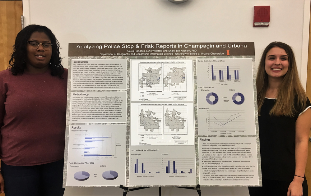 | | | Lyric Winston and Alexis Haddock | Click to see larger image. | | |
GGIS majors Alexis Haddock and Lyric Winston presented the poster "Analyzing Police Stop & Frisk Reports in Champaign and Urbana" at yesterday's ACLU Illinois Town Hall meeting, held at the Champaign Public Library. The Champaign County Chapter of ACLU Illinois arranged this event as part of their Listening Tour Campaign.
Alexis and Lyric analyzed Champaign and Urbana police stop reports between January and June 2016 to explore how these two police departments conduct stop and frisk searches, and whether their actions demonstate any bias. Dr. Shakil Kashem supervised this study. |
|
 Xue Zhang is a visiting PhD student from the College of Urban and Environmental Science, Peking University, China. She majors in human geography, with a focus on people-based social-spatial segregation analysis. Xue is collaborating with Professor Mei-Po Kwan on a comparative study between China and the U.S. She is visiting through September 2018, with a desk in Room 1054 NHB. |
|
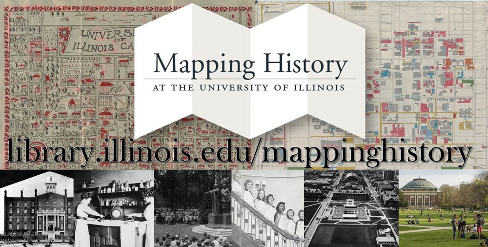
James Whitacre (GIS Specialist), Marci Uihlein (Professor Architecture), and Ellen Swain (SLC Archivist) would like to introduce: Mapping History at the University of Illinois
—a “bringing together” of GIS, architecture and archives to tell the University’s story during its Sesquicentennial year.
The project, supported by Library Innovation Funds, includes three components:
Campus History: Brief narratives (written by project historian John Franch) and covering themes across seven historic eras, integrating GIS story maps and architectural modeling, and archival holdings. Check out, for instance:
Interactive Campus Maps: GIS time-enabled map and 3-D modeling. Story maps produced (with James Whitacre’s assistance) by Joe Porto, Scholarly Commons graduate assistant, & undergraduate student assistants and interns.
Jessica Ballard, Archives Faculty Resident, created the African American Housing history map. Check out Illinois Field, for example. See all maps here.
Digital Map Archives: 525 campus, community and county maps from University Archives, Map Library and Champaign County Historical Archives holdings: Explore here
Also, check out Archives Research Center graduate assistant Jessica Followell’s exhibit about the project in the North-South hallway of the Main Library.
Finally, please visit About the Project to see the large number of people who have contributed to this on-going teaching tool. Special thanks to Joe Porto, Tara Chattoraj and Anna Trammell. This is an on-going project-- the Mapping team is continually adding new content. |
|
|
| | | |
|